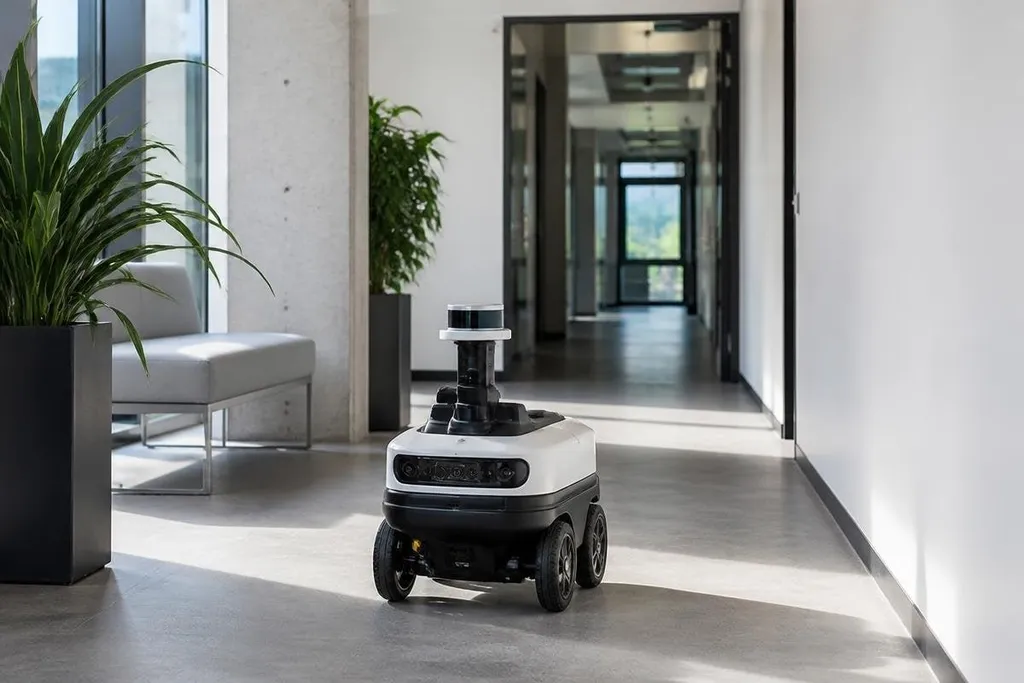
Using simultaneous localization and mapping, or SLAM, a robot builds a map while working out its own position inside that map. This lets an autonomous system move through a place it hasn't mapped in advance, using sensor data to update both jobs at once.
Quick read
- SLAM combines mapping and location tracking in one running process.
- Cameras, LiDAR, wheels, and inertial sensors can all support the estimate.
- Moving objects, poor lighting, and repeated rooms can make the map drift or fail.
What SLAM does
Before moving safely, the system needs two answers: “What does this space look like?” and “Where am I in it?” A map without a known robot position has limited use, while a position estimate without a map gives the robot little context for its next move.
SLAM handles both questions together. The robot reads its sensors, spots features such as walls or corners, and compares each new reading with earlier readings. That comparison helps the system estimate movement and place new map data in the right location.
The process repeats many times each second. As the robot moves, its software builds a map of nearby surfaces and updates its estimated position.
If later sensor readings show a familiar wall or doorway, the system can compare that place with its earlier record. This repeated-location check is called loop closure. It helps reduce drift, which is the gradual error that grows as the robot estimates movement over time. A small error in each movement can shift the map unless the system finds a known place and corrects the estimate.
The sensors behind the map
Different robots use different sensor sets because each one gives a partial view of movement and space. A warehouse robot may use LiDAR, which measures distance with laser pulses. A small indoor robot may use cameras and wheel sensors instead.
Cameras can identify visual features, while wheel encoders report how far the wheels have turned. An inertial measurement unit, or IMU, measures movement and rotation through accelerometers and gyroscopes. Each source has limits, so many systems combine their readings through sensor fusion.
LiDAR can work well in dark rooms because it does not need visible light. Cameras can carry more visual detail, but shadows, glare, and blank walls can make image-based tracking harder. Wheel sensors can lose accuracy when a wheel slips on the floor.
The map also depends on the robot's movement. A wheeled platform on a flat floor has a different motion model from a drone or legged robot. That model tells the software which movements are likely and helps it reject sensor readings that do not fit.
Where SLAM helps
SLAM supports indoor delivery robots, inspection machines, vacuum robots, drones, and other autonomous systems. It can help a robot move through a building, return to a charging point, or plan a route around fixed obstacles.
For an engineer or site manager, the practical value comes from reducing the need for a fully surveyed space. A robot can begin with limited map data and add detail as it moves. The result still needs checks, especially when the robot works near people or valuable equipment.
That check is easier when you compare a SLAM result with a named robot and work site. Dated reporting from Robot24 can give you that reference before the next section separates the map estimate from the software that uses it.
SLAM does not replace every other navigation system. A robot may also need a route planner, obstacle detection, safety sensors, and a way to identify its charging station. SLAM supplies a position and map estimate; other software decides what the robot should do with that information.
Where SLAM breaks down
A map can become unreliable when the surroundings keep changing. People, vehicles, open doors, and moved shelves can alter the sensor readings that the robot uses for reference. The system then has to separate stable parts of the room from temporary objects.
Repeated spaces create another problem. Long corridors, identical storage rows, and rooms with few visible features can look alike. The robot may match a new reading with the wrong place, which can bend the map or shift the estimated position.
Sensor limits matter too. Dust can affect some LiDAR readings. Low light can affect cameras. Wheel slip can make encoder data wrong. A good SLAM setup starts with the sensor that fits the site, then checks its map against known points in the building.
I'd treat SLAM as a navigation base, not a complete autonomy package. It can give a robot a useful map, but safe operation still depends on the sensors, software, and site around it.
A practical setup checklist
Use this list before choosing a SLAM system for a robot or site:
- Map the room type: note corridors, open floors, stairs, glass, mirrors, and moving traffic.
- Match the sensor: choose LiDAR, cameras, wheel sensors, or a mix based on light, dust, floor grip, and range.
- Check fixed points: use walls, posts, charging docks, or marked locations to check map drift.
- Test repeat spaces: inspect areas with identical shelves, doors, or corridors for false location matches.
- Plan for changes: decide how the map will handle moved equipment, open doors, and people.
- Add safety layers: keep obstacle detection and emergency controls separate from the map estimate.
The next step after a working map is a repeatable test route. Run the robot through the same path after lighting, furniture, and traffic change, then check whether its estimated position still matches the building. That result tells you more than a clean first map.